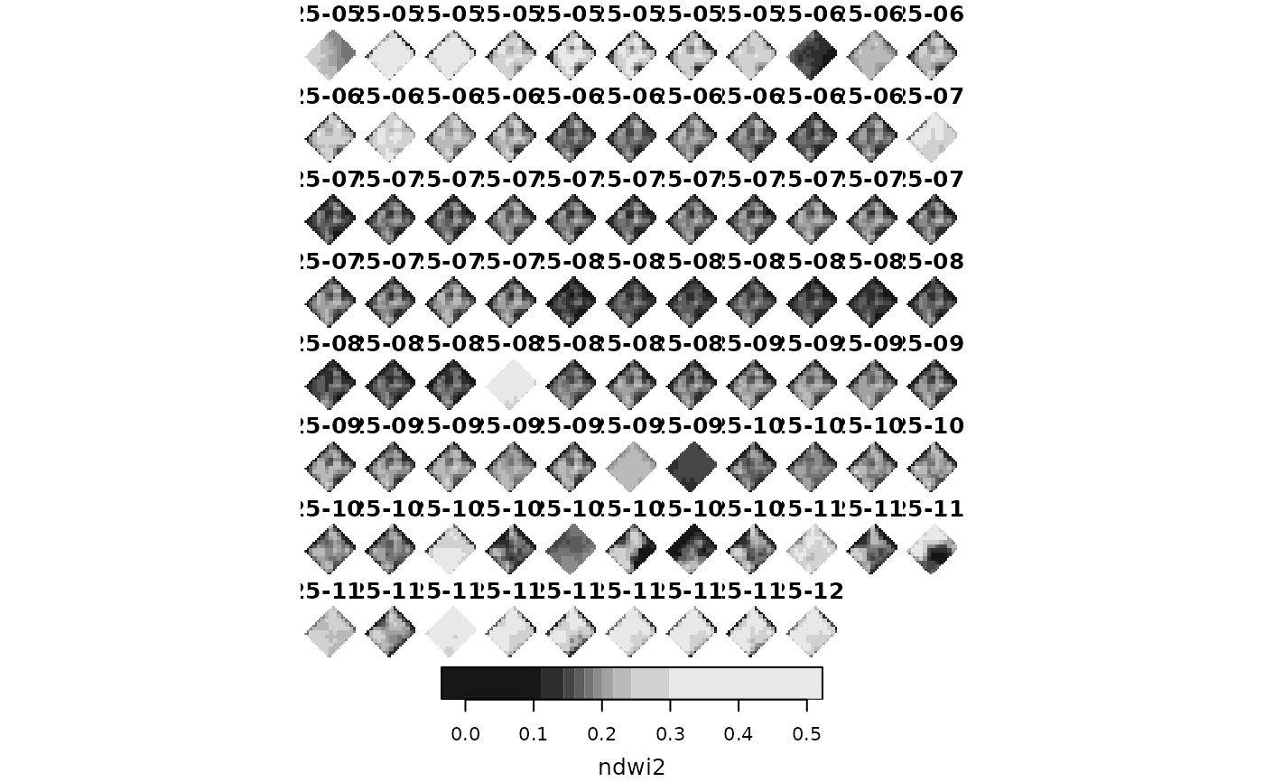
A stars raster object containing the Normalized Difference Water Index 2 (NDWI2)
derived from Sentinel-2 satellite imagery over El Chaparrillo, an agricultural
research center in Spain, across 86 time points.
Usage
data(chapa)Format
A stars object with:
- ndwi2
NDWI2 values (numeric) derived from Sentinel-2 bands. Non-NA values define the study area mask.
- dimensions
Three dimensions:
x(26 columns),y(27 rows),time(86 dates from 2025-05-15 to 2025-12-01). CRS: WGS 84 / UTM zone 30N.
Examples
library(sfclust)

data(chapa)
chapa
#> stars object with 3 dimensions and 1 attribute
#> attribute(s):
#>               Min.   1st Qu.    Median     Mean   3rd Qu.      Max.   NAs
#> ndwi2  -0.03494883 0.1527428 0.1872349 0.193792 0.2270235 0.5227525 31562
#> dimension(s):
#>      from to  offset delta                refsys point
#> x       1 26  418080    10 WGS 84 / UTM zone 30N FALSE
#> y       1 27 4320790   -10 WGS 84 / UTM zone 30N FALSE
#> time    1 86      NA    NA                  Date    NA
#>                         values x/y
#> x                         NULL [x]
#> y                         NULL [y]
#> time 2025-05-15,...,2025-12-01
plot(chapa["ndwi2"])